Welcome to Indigenous Futures in Engineering, Queen's University
Search

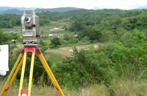
Land claims, the future and measurement
FORT WILLIAM FIRST NATION (ONTARIO)
The people of Fort William First Nation live at the top of Lake Superior, near Thunder Bay, Ontario. They know from their experience how important the right measurement is. The Ojibwe had their own terms for measuring how far something was by how long it took to get there. This was a unique way to measure things and they paid attention to things like if the travel was by water or land, the difficulty of the land and the weather.
The first Europeans the Ojibwe met were the French. The French showed them how to measure ‘leagues’. The Ojibwe did not really understand the term and, in fact, the Ojibwe word for ‘league’ meant 'a measure used by the French'. Soon, it came to mean just 'measure'. The word for 'measure' was not just for distances. It could also be used to describe how heavy something was or its volume.
This different use of the terms caused problems when the Ojibwe negotiated with the British for reserve land. By this time, the Ojibwe unit was the league, which they had learned from the French. The British used the mile as their unit of measurement for distance. It was unclear which units of measurement was being used to measure the land and this is still a problem today. Under current land claims, the Fort William First Nation are arguing that the British used the wrong measurement, and that the reserve is actually 3 times smaller than it should be.
The information in this article was found in the Report on the Leagues and Miles Claim of the Fort William First Nation.