Welcome to Indigenous Futures in Engineering, Queen's University
Search

Geomatics
Category:
Geotechnical
Examples:
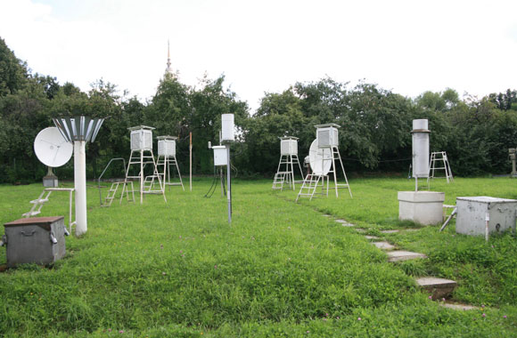
Geomatics engineers use sophisticated technology such as space satellites and digital imaging to provide a unique view of our planet for a variety of reasons.
Geomatic engineers are involved in:
- Developing technologies to study weather patterns and predict upcoming storms
- Search and rescue
- Helping to pinpoint new locations of untapped fuel reservoirs
- Mapping traditional territories
In your community:
Imagine being a bird and seeing your home from the sky? Would your community look different?
Geomatics engineers have a huge role to play in land claims negotiations. By talking to Elders and community members they can make maps of your nation's ancestral territories - clearly marking trap lines, hunting grounds and any mineral resources which lie on the land under negotiation.
Aptitude:
If you like...
- Problem solving
- Being creative
- Reading maps
- Orienteering
- Drawing
- Working with people
- Making discoveries
...you might enjoy Geomatics Engineering
Universities:
If you want to study Geomatics Engineering you can go to the following universities: