Welcome to Indigenous Futures in Engineering, Queen's University
Search

Geomatics
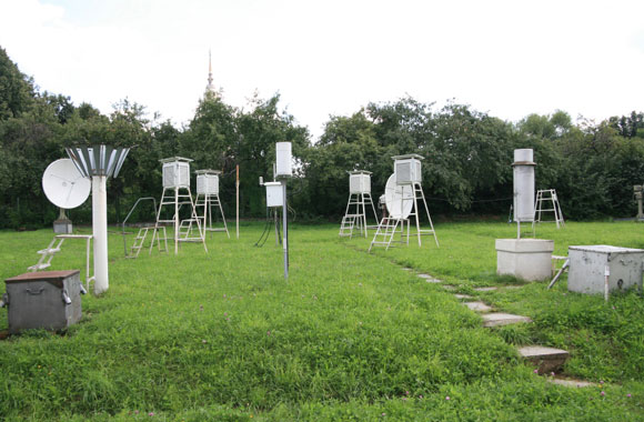
Geomatics engineers keep data about Earth's surface for uses like mapping, navigation and watching for changes in the environment. Much of their data comes from images provided by the network of satellites orbiting Earth.
Examples
Geomatics engineers use advanced technology such as space satellites and digital imaging for all kinds of reasons. When you go on Google Maps and you are able to see your house, that is one use of digital imaging; there are many more!
Geomatics engineers:
- Develop technologies to study weather patterns, and with these patterns they are able to tell us the upcoming weather
- Help with search and rescue
- Help gas engineers find new locations that have fuel reservoirs
- Map traditional territories
In your community
Imagine being a bird and seeing your home from the sky? Would your community look different?
Geomatics engineers have a huge role to play in land claims and who decides what people get what land. Talking to Elders and community members, geomatics engineers can make maps of your nation’s ancestral territories. This is important because these land boundaries tell people where they can hunt and set traps as well as knowing what natural resources are there.
If you like...
- Problem solving
- Being creative
- Reading maps
- Using a compass to find your way
- Drawing
- Working with people
- Making discoveries
...you might like Geomatics Engineering!